Wednesday, July 23, 2025

Where Whitleys Walked


Previously, I had written a lengthy dialogue of my visits to a few chosen family cemeteries that had ties to a group of individuals I have been recently researching. The original version was verbose and descriptive and became burdensomely long. It also self-deleted twice. Therefore, I've rehashed it as a trilogy, and a more perfunctory one at that. This last breath of air into a difficult tale of a journey into the Oakboro area historic cemeteries has already deleted once from just a tap on the phone screen. Alas, let's trek forth for this one brief end to the journey, shall we?


Whitley families, after making their way from the Eastern part of the state to the middle of it, as this part began opening up more to settlement and became safer after the establishment of a Fort near Statesville and the establishment of the town of Salisbury, near Trading Ford. There were several early Whitley's in this area, many of them only temporarily. It's commonly accepted that the ones who remained were of one family, at least a generation or so back, but I've not looked into this long enough or deep enough to verify that long held assumption. The family of George Whitley, with a multitude of descendants, has been researched fairly well. The family of Exodus Whitley, whose descendants I've been looking into, not so much. The availability of records, or lack of such, has been a detriment. Most calls are unproved, or assumptions based on cumulative, and circumstantial evidence. 


The first Whitley Cemetery I stopped at was well North of Oakboro. The early Stanly County Whitleys were seen taxed as living on a variety of Stanly County Creeks from Stony Run to Bear Creek to Stillwater. This cemetery is located near the headwaters of Stony Run Creek. Situated along the current Austin Road, it can be said to be between Bloomington and Ridgecrest or just out of Frog Pond and Red Cross, or a hop, skip and a jump from Lambert, all of them places, and not towns, except Red Cross, which has incorporated.


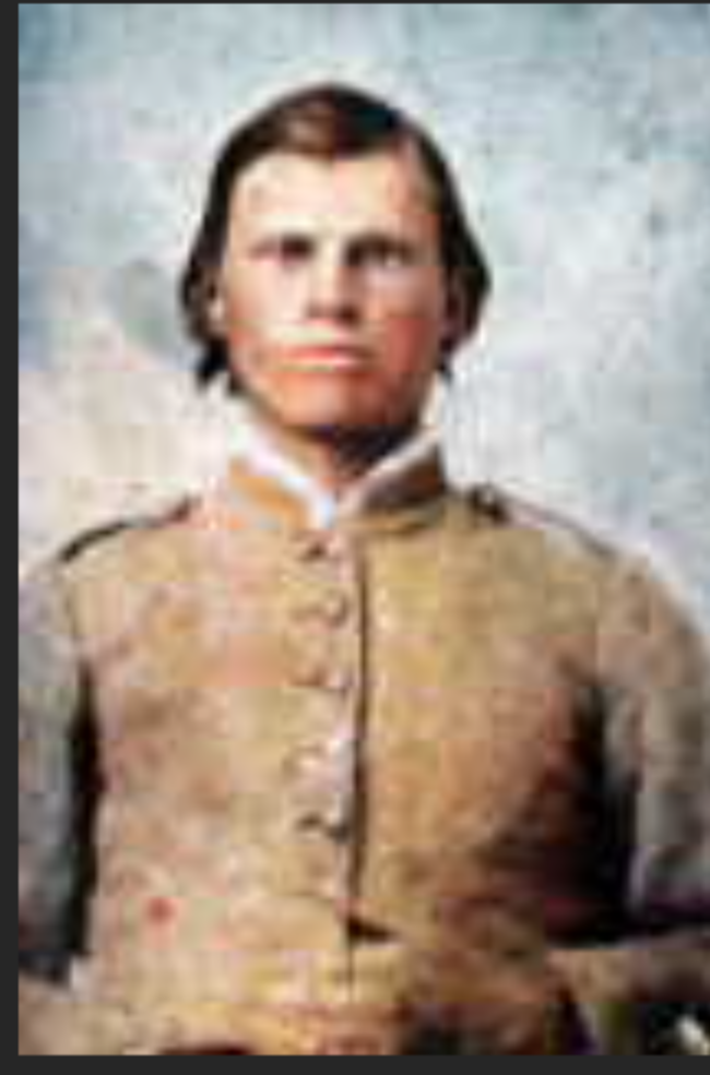
The Whitelys has a "look", at least back in the 19th century. After a few generations of intermarriage with a variety of spouses from various other places and other origins. I have described the look in a preious post as "square jawed and light-eyed". Below are a few examples. 

The above hawkish looking young man is George W. Whitley, in his Civil War uniform. He was the son of Green Deberry Whitley and wife, Jane Almond Whitley. He was born in 1836 and died here, in Stanly County, NC in 1902. George was married to Nancy Ledbetter, a daughter of Alfred Ledbetter, whose family and cemetery I have mentioned in an earlier post in this series. He was in the George Whitley line, and a grandson of the George who married Rebecca Cagle and later moved to Georgia to start a new family there, leaving the old one behind. That's a lot of George. George W. the Confederate is a good example of the Whitley 'look', and they were generally a good-looking bunch in their youth.


Temple Whitley, shown above, is from a younger generation. He was the son of Israel Irenus Whitley and Oma Jane Morton, and the Grandson of Temple Irenus Whitley the first, who was in turn, another son of George Whitley and Rebecca Cagle, so a first cousin once removed of George W. Whitley, above. He still bears the classic Whitley male look, however, of the square jaw and serious, light eyes.


The Green Deberry Whitley family cemetery was my first stop. Standing in repose by the side of Austin Road, next to a verdant July cornfield, an old farmhouse guards over the resting Whitley clan. I am not sure how far back it dates to, but it was not underpinned, which puts some age on the structure.


Graves here date back to at least the Civil War, and the most recent internments date to the 1940's. 

A monument has been placed to the family as a whole, and a flagpole proudly flying Old Glory over the fields and family has been erected. 


Out to the side of the cemetery, oddly sits the grave of Adison Franklin Whitley. He rests beside a bush and I wonder why his grave and his alone, was not included in the neat rows of graves with the rest.


White pebbles line the rows of graves of most of the Whitley's in this family. Above is the marker of he matriarch, Jane Almond Whitley, wife of Green Deberry and mother of George, the soldier pictured above.


This one pays tribute to Elizabeth, wife of Noah A. Whitley, a younger son.


The family monument, with the flag, is adorned with a new floral arrangement, proof this old ground is still visited often, well preserved and lovingly cared for. The memories of those resting here have not been forgotten. The monument is simply engraved "Whitley", with the agrarian scene of farm equipment and crops engraved softly into the marble in various tones of gray. The lush field of corn behind the monument is the perfect backdrop.


One of the rows is shown above, with original markers fronted by modern foot stones to mark the graves for posterity.


A memorial bench proclaims ,"If tears could build a Stairway and Memories a Lane I'd walk right up to Heaven to see you again."


The next stop was the Allison Whitley Cemetery, and this one was dead in the heart of Oakboro, in town, but pretty difficult to find. After stopping by a local store, I found someone who knew where to look. It's located in the middle of a lively neighborhood, down what looks like an industrial entrance to an old factory. 


The cemetery sits east of the parking lot and anything but abandoned. 


Allison Whitley was the oldest son of John Whitley, who died in 1842, and wife, Jane Hathcock Whitley, who followed her younger children to Iredell County and died there sometime after 1880. 

Alison Whitley Cemetery

Also known as Jones Hill Primitive Baptist Church Cemetery

Oakboro, Stanly County, North Carolina, USA –


Online, the cemetery is claimed as the Jones Hill Primitive Baptist Church Cemetery. 


On the old CB Miller map from about 1904, the area marked as the Jones Hill Church and Schoolhouse seem to be along a major road, and no where near where the current town of Oakboro is.


Most of the souls here inclined are the children and grandchildren of Allison and his wife, Betsy, but a few standouts exist.

The cemetery seems to date back to the Civil War era, but with the graves of children, two year old Willie Whitley in 1861, and one year old John R. Whitley in 1862. The oldest was young Jacob Whitley in 1860,  just 18. The most recent interment is from 1989, so their are living descendants who keep these grounds well-tended. 


One of the saddest parts of the plot is what I refer to as "Infants Row", with the markers of young children, some named, others just noted as the son or daughter of the parents named.

That wraps it up for my search of a select few Oakboro area cemeteries. See you next our "Mayberry -esque", bucolic little burg! Until it's time to do the red-white and -blue again.


Adventures in Oakboro Part Deux


As this is my third attempt to chronicle my visits to, or near some Oakboro area, or rather, Big Lick Township, area family cemeteries, I've decided to again, break one post up into multiples, as the ghosts of the past are fighting being brought to light. Or seriously, there must be a gremlin attached as the post has been twice deleted. 

My last post introduced the reasons for my trip, a desire to connect with and view, the area these longgone folks lived on, walked on and died up on. I told of two cemetery visits, to the Hatley Grove Primitive Baptist Church, and to the Ledbetter Family Plot. 

After leaving the old Plantation and Resting Ground of Alfred Ledbetter, I sought the Hinson Family Burial Grounds, home to the most ancient of Hinson arrivals to Stanly County, and the resting place of William M Hinson, father of Telitha Jane Whitley Springer, whom I've been researching for weeks now. 

Set among a virid sea of green and gold in the rolling hills of southwest Stanly County near the Rocky River, the road to the Hinson cemetery is gated from visitation. Located off old Sandbar Road, in an absolutely breathtakingly beautiful rural setting, the Hinson cemetery is located close to the river on private land. 
The oldest interment in the Hinson Cemetery dates back to the 1840's and the most recent, the early 1900's. The Hinsons will come to play in several future posts. It's a hop, skip and jump from the Ledbetter lands and closer to the Rocky River. As in most of these old family plots, many graves are unmarked, or the stones no longer legible. Among the ones that are, there lies a Mullis and a Tucker, among the Hinsons. I'm not a Hinson, and it's a beautiful area, but I felt no real connection to the place. 

After leaving Old Sandbar, my next destination was the Brooks family resting place. Located down a long dirt path, and no longer accessible by Brooks Road, from the other end, as it was long ago, the Brooks plot is also in a clandestine setting, blocked by a gate from public access. 
Located on a picturesque family farm, among sundappled rows of corn, rolling wind-kissed grasses that bend in the breeze, the Hinsons rest in the warmth of quiet peace. A clip from Find-a-Grave shows them in a nearly tropical setting 


My biggest surprise in the visit to the first four locations was the close proximity they were to each other, walking distance, so to speak, especially for the 19th century. There's no wonder for the intermarriage and interaction between the collection of families. Above is a pond fed by a stream, that I believe may have been Stillwater Creek. The Brooks family grounds lie over near Island Creek, while the Ledbetter lands were closer to this, the Stillwater. That corresponds to the 1844 entry of a 100 acre tract by Alfred Ledbetter, just after the county was created. That doesn't mean he just moved to or purchased the land then, just that he laid claim to it in the new body of government. His tract adjoined that of Hezekiah Whitley and Isham Whitley, and three years later, Nancy Whitley, whom I believe to have been Isham's  widow and perhaps a Hatley by birth. 


These intertwined folks didn't live in Oakboro, why Oakboro didn't even exist. They lived several miles below where Oakboro is now, closer to the river, but not upon it. Nineteenth Century deeds claim they lived along the Austin Road. The landscape has changed dramatically over the decades, and the streams somewhat, but the Austin Road is not the Austin Road, as it now exists, nor close to it. There is a possibility it may have connected to the westernmost end. 

The Austin Road was named for the family of my distant ancestor, Regulator Bryant Austin, a clever rebel who hid from the British after the Battle of Alamance, in the years before our independence from Britain, along the Rocky River. Eventually, a posse was sent for him, and he was discovered, but escaped capture credited to the use of good Bourbon. 


That portion of road seemed to have transformed, generally, into the Coble Mill Road by about 1920, and is known as Highway 205 today. In the above portion of the C. B. Miller map of Stanly County, circa 1900 -1910, I've highlighted the general vicinity of certain families in the middle 1800's, as best as I can deduct, from what I've learned so far. 

Lilac denotes the Coble's;
Green, the Hinsons;
Blue, the Ledbetters;
Orange, the Brooks and 
Yellow, the Hatleys.
Of course there were overlaps and 'others' who lived there, by purchase or rent or employ.


To gage how far away from Oakboro this is, I've encircled the dead town of Big Lick in Orange. The railroad failed to be built through the heart of Big Lick, leading to its demise. A Post Office was built a few miles south of Big Lick and was originally named Furr City by a Mr. Furr. A town began to grow there, and a railroad stop was created, but the railway didn't like the name, and renamed it Oakboro, which has now absorbed what was Big Lick. The new town is roughly in green. The blue line is the trail to the Ford, be it Austin, Ledbetter or Coble. The yellow area is where the people I've been investigating lived.


When I was about twelve, the youth group of my church, which was in Albemarle, was gifted the use of an old family farmhouse on their property, as a clubhouse or meeting place. The kids, most of whom were older teens, did quite a bit of the work getting it cleaned up and fit for this usage. I will never get over the drama of stepping on a stack of two by fours and feeling the soft crunch underneath that turned out to be a mouse. 


Two families dominated the church family, three or four generations of them, the Davis family (mine), and the Chandlers. There were several more, Furrs, Scott's, Hinson's, Coleys, Rabon's, Baucom's, Burleson, Holt, Kepley, Loflin, Eddins, Vanderburg, Trexler, Talbert, Burris, Buntings and many others. I had several first and second cousins in the Youth group. While I don't remember where the house was, I recall it was in Oakboro and had belonged to the Chandlers. Today, I found the Chandlers that it must have been, and the mouse memory returned in terrifying crunchiness.


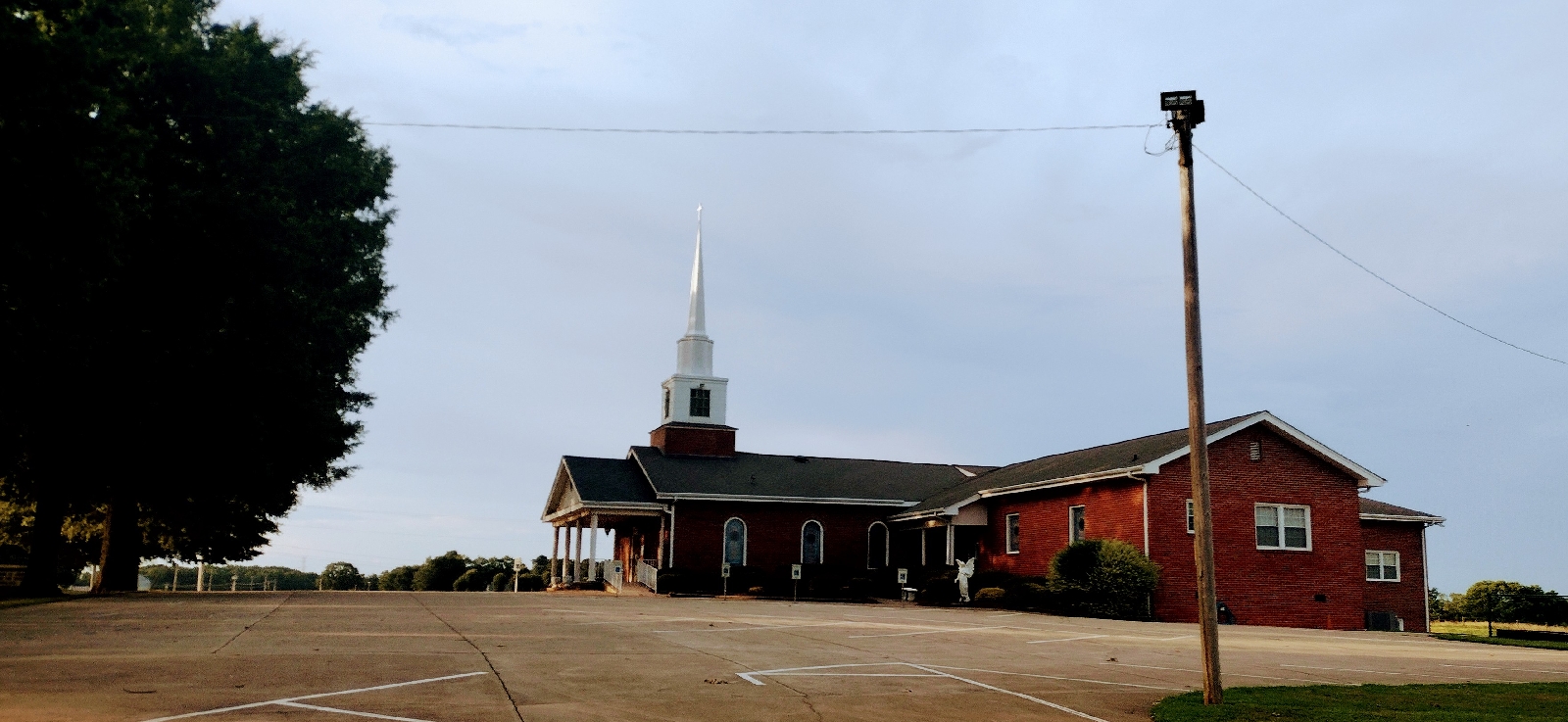
Mineral Springs Baptist Church sits on the corner of Hwy 205 and Mineral Springs Road, several miles south of Oakboro. To give one an idea of how close the areas I have mention in this, and in my previous post, Adventures in Oakboro Part One, the above map shows Mineral Springs in the top right corner. The road leading into 205, just above it and then trailing southwest from it, was Ledbetter Ford Road, where the Ledbetter Family Cemetery is found. Down the road a little way on the right, neat the bottom of the screen, is Old Sandbar Road, where the road to the Hinson Family plot leads off of. Just below Sandbar, to the left, runs Howard Road. The former Hatley Grove Primitive Baptist Church sits off of Howard Road, and where it dead ends, leads to the old Brooks Family Burying Ground. This was a close and connected neighborhood. 


Mineral Springs is an active and modern congregation. The Congregation dates back to 1845, and instead of reiterating its history in my words, I am just including the history the Church itself details on its website, below.


Our History

Mineral Springs Baptist Church was constituted in the year 1845. It was a member of the Pee Dee Association from 1845-1856. It was received into the Rocky River Association in 1872. In 1876 it was received into the Stanly Association.

The first building to be used by Mineral Springs Baptist Church was a one room log structure which was located one mile east of the present location. The second building, which was a large wooden building located at the present sight, was destroyed by strong winds. It was used from 1917-1927. The third structure was built in 1928. It was a seven room brick building with wings which were used as Sunday school classes. The church building was dedicated in 1930. In 1976 Mineral Springs remodeled and added to the old sanctuary a choir loft, baptistry, and a large educational building which included a new fellowship hall. The new structure was dedicated in 1977.


A more peaceful and ephemeral setting could not be found to serve as the resting place of God's people. A wooden cross leads into the front of the cemetery, with Old Glory waving overhead just beyond at a Soldiers Memorial. Cotton ball clouds paraded by in a variety of shapes underneath the wispy brushes of        . Can you see the pig and the puppy dog?


In the turn of the century C. B. Miller map, above, I have circled Mineral Springs in yellow. A variety of roads and paths swirl around it. Predictable surnames camp around the church location, Hathcock, Honeycutt, Austin and Brooks. The road that plows right through the name of the church must have been what would follow the general path of Hwy 205, and at that time was known as Coble Mill Road. A road that crosses below it has several Hinson's as its occupants and may have been the original path of what is now Old Sandbar. W. F. and W. R. Brooks were apparently large landholders in the area at that time and a road on the right might have passed near the old Hinson Cemetery. Above the name of W. R Brooks was the Hinson School. On the right edge of the map, east of the church, we can see where Jones Church and Jones School stood. The Smith's Grove Congregation, which is located between Aquadale and Oakboro along Hwy 138, claims to be the descendants of the Jones Hill Congregation. A Whitley cemetery actually located within the town limits of Oakboro, claim to have been the Jones Hill 


Despite its early beginnings, most of the burials at Mineral Springs seem recent, or at least 20th and 21st Century internments. There were several familiar names and even family members buried here. The black marble stone above is the marker for Joe Lowder, former Sheriff of Stanly and if I'm not mistaken, he also served as Mayor of Oakboro. Joe was a cousin of mine, his mother and my Dad were first cousins, making us second cousins. So, this was a familiar and familial place. 


As with Hatley's, the march of time can be seen across the layout of the grounds, with newer markers giving way to older ones near the back, so one can the the forward progression of the plots, and that they had begun further away from the church. 


A wide variety of local families have attended this church. These stones show Howard, Little, Thomas and 


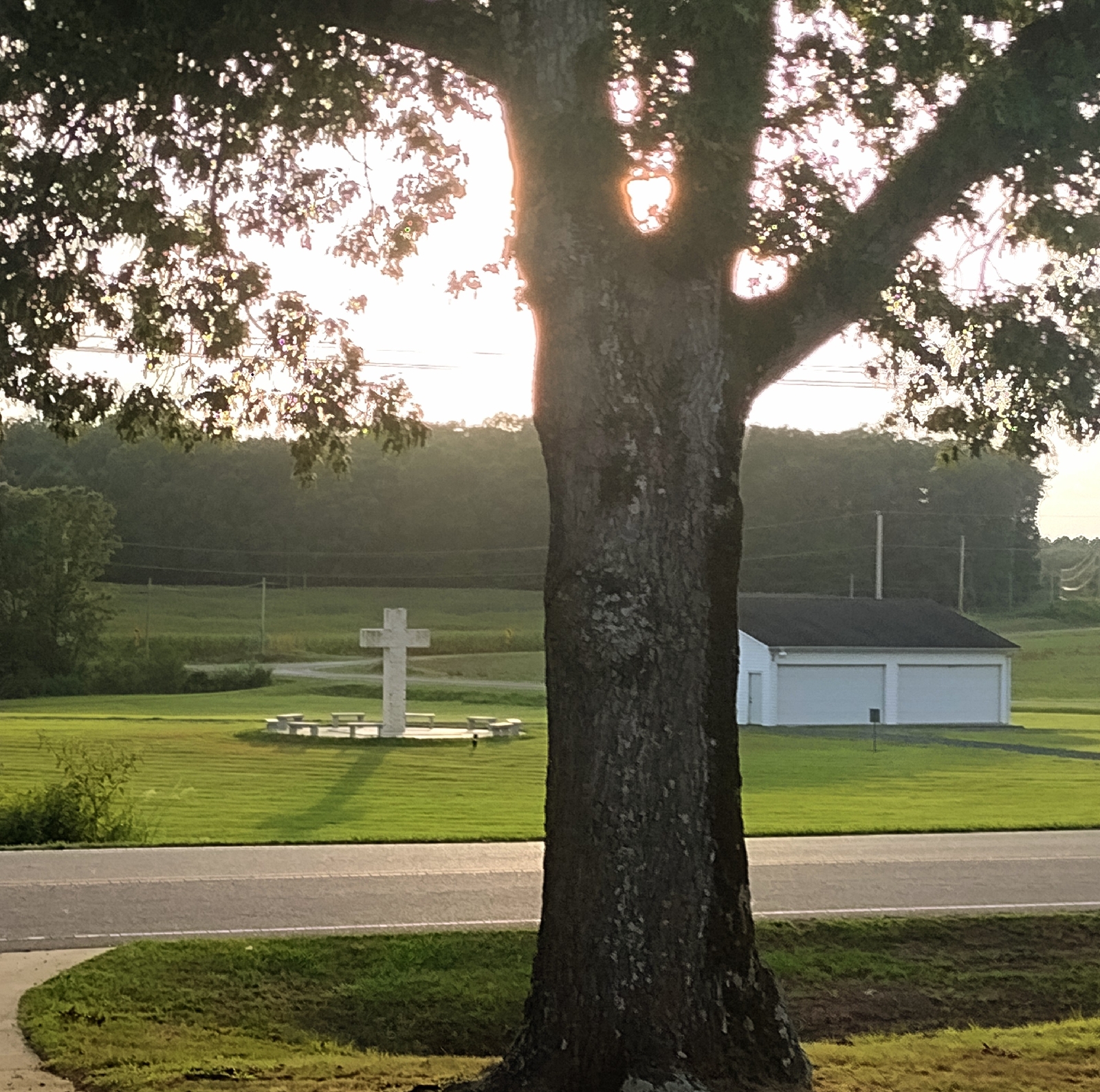
The cemetery has grown so much, that an extension has been arranged in a lovely setting across the street. To the left of the white cross surrounded by benches, out of range of this photo, is a group of graves adorned with flat markers, for easy mowing. 


I found a Chandler grave and knew this must have been the Chandlers who attended Pilgrim Holiness/ Albemarle Wesleyan Church in the 1970's and donated an abandoned house on their property to the Church Youth Group. A member of the family donated a picture to his profile on Find-A-Grave, and although it is a younger version, it is most definately the Mr. Chandler that I remember.


My Uncle married into this same Chandler family, and they have a very interesting genetic heritage. One of them, when they still dwelt in Chandler's Grove near the Montgomery/ Davidson County border, before moving to Stanly County, had went west, to the mountains of North Carolina, and there found a bride with the surname Bell. This bride was from a group of dark, mountain people, a mix of indigenous and other. They returned to his home in time and this bride passed her olive-skinned genes down to this particular branch of Chandlers. 


The cemetery is a place of peace and repose for other occasional visitors who also showed up during my visit.


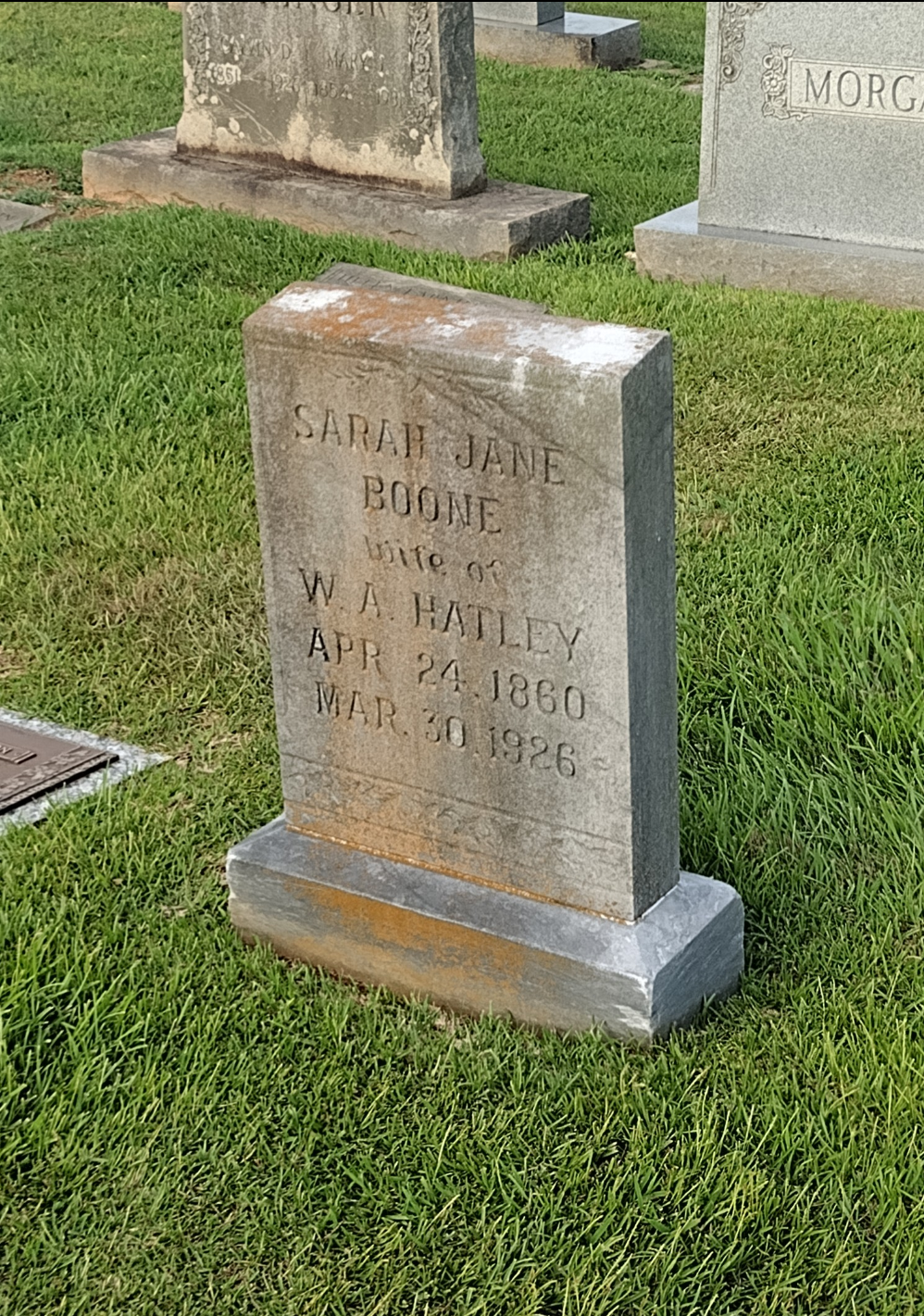
Sarah Jane Boone Whitley's stone caught my eye. She was the wife of W. A. Hatley, and I don't have to guess to know who her parents had to be. An early member of the Boone family settled in early Stanly Count area around Big Lick. After his wife died, he married Martha Murray and moved to Allegheny County northwest of Stanly in the Foothills of the Blue Ridge. On son remained in the Oakboro area. One of his sons married my Great Grandfather's oldest sister, Mollie. This must have been his aunt, as they were the only branch of that family to remain here. 


No surname adorns this rugged looking monument, but the front is smooth and bears the name "Harris". This is the stone for Daniel Jefferson Harris and wife, Julia Hatley Harris.


This serene resting place contains the remains of several individuals I've encountered in this arm of my research, and obviously their children or grandchildren. The names still ring of the same names seen in the ancient deeds of this area upon the inception of the County. Hinson, Brooks, Hatley, Ledbetter, Whitley, Barbee, Smith, Furr, and many others, worshipped and lived in this area.


The next stop was the crossing of the Rocky River itself. On the other side is Union County and the Union/Anson County line. The families who lived in this area near the river were very close to these other counties and several of them crossed over and settled there. As five of Hezekiah Whitley's are unaccounted for after they grew up, I would not want to think they all died young. Possibly Martha, but the other four, Mary, Adaline, Elizabeth and Sarah, were all of marriageable age when we see them no more. As close as they lived to these other counties, I wonder if the mystery of their fates can be found there, instead.


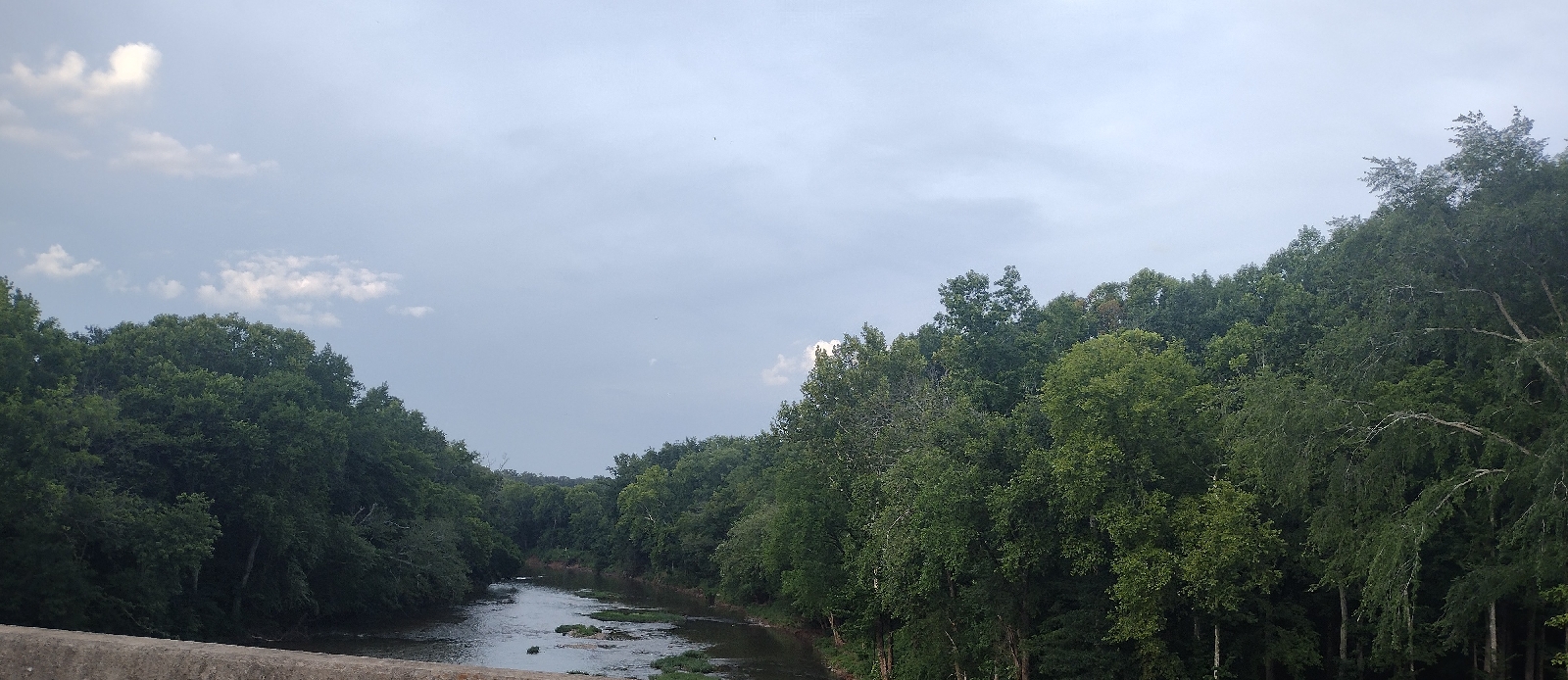
And, there, a brief glimpse of the Old Rocky itself, the slow, shallow stream that brought settlement to this part in the early years. Exodus Whitley was here at least by 1772, while it was still part of Anson and before the Revolution. 


Right after crossing over, you find the sign and road of Pleasant Hill Baptist Church. One of the Whitley daughters is buried there. On paper, it looks to be a distance, but it's literally right across the river. 

This concludes this arm of my adventures in Oakboro. Next will be the last of the trilogy, a look for the two Whitley cemeteries themselves. 

Sunday, July 20, 2025

Adventures in Oakboro Part One

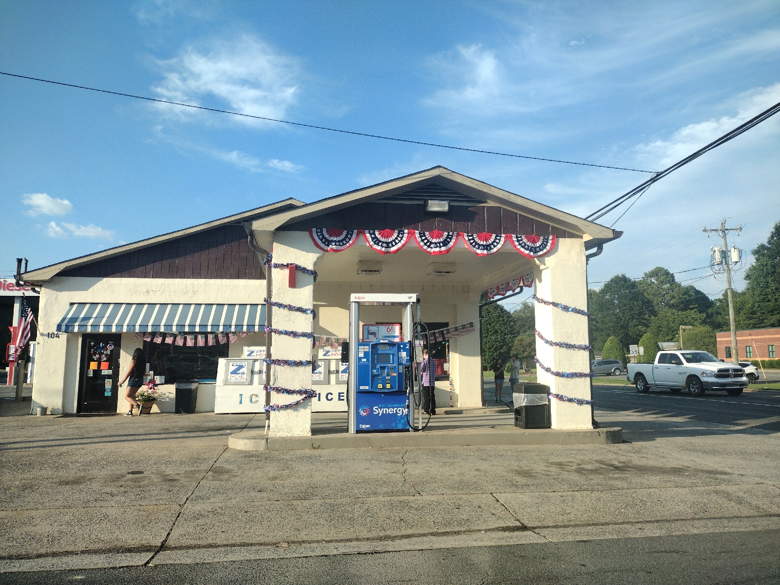
This Building is an Oakboro icon from my earliest memories of it.


Although I wasn't born in Stanly County, NC, I grew up here. My roots in this places go deeper than our quest for Independence from Brittain. My family ties to the Rocky River are many, be it those of my Paternal Grandfather in Almond, Furr and Big Lick Townships, or my Maternal Grandfather's in Tyson Township, or my Paternal Grandmother's on the Cabarrus end of it. If you'r counting, that's three out of four grandparents, having family ties to the Rocky River.

However, I, myself am a city girl. I grew up in the city of Albemarle, if you can really call it a City. It's a small city, larger than a town. We had readily close merchantiles, restaurants, gas stations, a hospital, trash service, swimming pools, YMCA, parks and sidewalks, four or five elementary schools, a courthouse, police department and Sheriff Department Headquarters, and a fire station in each neighborhood. We even had Malls, two of them! As a kid, I didn't know much about the western part of the county or the small towns therein.

Oakboro was where we went for their annual and quintessential July 4th celebration. Recalling the long trips down the curvacious Saint Martin Road, awash with the spicy scent of its lush fields of corn and silo, dotted with the occasional picturesque cottage festooned with seasonal flowers and the brick ranch farmhouses that sit far back off the road with front lawns large enough to host their own Olympics. Arriving in the rustic little town for the annual parade of floats and firetrucks, bands, clowns and beauty queens and cowboys on horseback, with red, white and blue over every person, building and vehicle. This would be followed with food, music, contests, and carnivals, ending in the most brilliant display of fireworks to amaze young eyes.

Stanfield was the two stop-light town stuck in a time warp, decades behing the rest, so much so its nickname is "Standstill". I bear fond memories of going there to this historic and iconic general store, adrift in the fusty scent of old wood and sweet pipe tobacco, where one could find the stiffest, but most durable denim overalls, perfect for ferel children to play in, because they never wore out. 

Locust was the crossroad community we drove through on the way to Charlotte, with a one block business district down the left side of the road. That Locust has long faded away. Now all of these quiet, quaint western county communities have been infected by the harried, perilous, amphetmine- driven, amorphic virus that is the city in the previous sentence. Hoards of former Big City residents, especially those with young families, are chosing to commute upon the Speedway track into the inner realm of the gravitron, and raise their family in a familial, collogquial safety, than in the perilous buzz adrift with predatory vermin. Some parts are unrecognizable. 

When researching a particular family or individual, I like to put foot to ground, if possible, to get a sense of where they walked, farmed, lived and died. To connect with the essence of past existences, so to speak. I did this a year ago at Stonehenge. You must be still and breathe deeply, block out all distractions and allow the place to take over, peeling the layers of time away. Allow yourself to connect to the essence and exitance of the spot of earth in a distant and different era, and bring your genetic memory to the forefront. My brother must have thought me strange, and I acknowledge that I am, having discovered as much at about 10 years old. With that experience, I can verify that we did, an extremely distant time ago, connect back to that place and the people who dwelt there. 

My first "Oakboro" stop was at the Hatley Grover Primitive Baptist Church and Cemetery. I say it that way because these places were not in Oakboro. They were actual quite a distance from it, south towards the river, but not on the river. Oakboro just happens to be the closest place with a name.


The Church Building, although well kept, had obviously not hosted an active congregation for many a year. The cemetery was a different story.  It's been lovingly maintained and is still actively in use. The place is easily seen from the road, but the drive to it is a little precarious. 


The place has been kept up, with freshly mown grass. Unfaded, new looking fake flowers gave proof of  recent visitation. Some stones ever professed 21st century interments. Called Hatley's Grove because it was in the center of a the lands of a large group of Hatley family members, I'm sure, descendants of the Hardy's and the Hastens, the Oakboro area boasts similar congregations. Barbee's Grove is an active, modern congregation, began among a cluster of the Barbee family. Smith's Grove, similarily, which claims to have begun as the Jones Hill Congretion, an area and a church named on an old map I've recently viewed, is nestled among a hive of one branch of the Smith family.  


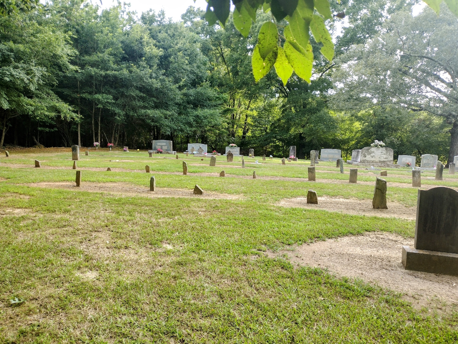
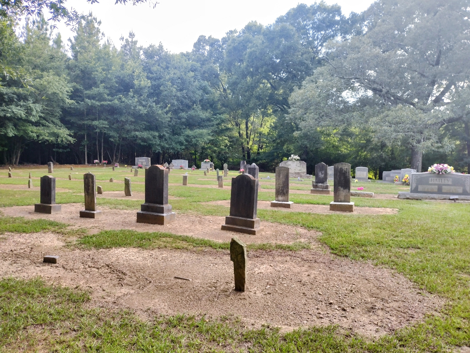
While the front of the cemetery is still in use and the interments fairly recent, the back of the lot tells a different story. This Hatley dominated spot is near 200 years old. Slate markers jut out of the ground like jagged shark's teeth. Few are legible, many are unmarked. 


Of the legible stones, the oldest date back to the 1860's, like that of Farrington Hatley, who passed in 1865, and L. A. Bird in 1863. There were a few names other than Hatley's there. This is where Caroline Whitley, daughter of Hezekiah Whitley is buried, and perhaps others of his family, their markers fading or gone. There seems to be a definate Hatley connection to this branch of Whitleys. 


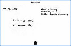
This cemetery card is for a little girl named Aney who died at about 4 years old. There are Harris', a few Springers, and I've mentioned the Birds, all who lived in the area. 


Above, the modern grave of another Hatley child. 

I happen to be a Hatley descendant. Old Hardy,  (1765-1838), was my Fifth Great Grandfather.

Although the Hatley Grove plot was the best kept of the inactive congregations or family cemeteries I have visited in recent weeks, it was also the spookiest. Inevitably, those of us bitten by the genealogy bug will be found hustling about in old abandoned cememteries. I've been in many, but they never loose their ability to creep me out. The worst is take a step in plush grass that sinks a few inches deeper than the previous step.


 An old man dwells there, although he prefers to present a younger version of himself, despite having lived a long life, even by todays standards. He seems very protective of the place, in a kindly way. Bright-eyed and light-haired, he had an easy demeanor and a squarish jaw, like many of the early Whitleys. There was another man there too, who lurked at the edge of the manicured plot. He seemed dark and sulky. It felt as if he didn't belong, slender and bent, like a weathered  twig, he wore a thin,  stubbled jaw and an ominous scowl. He stayed at the back, adjacent to the nearby house, across from the church building.


Leaving Hatley's behind, my next stop was the Ledbetter Family Cemetery. 

Located on the aptly named, Ledbetter Ford Road, this old family burying ground is also easily seen from the road. While not as manicured as the Hatley place, this ancient plot is also tended to and groomed, and sheltered under a small grove of ancient cedars. Located on a rise, off of the road that was probably unpaved a few years back, this is the resting ground of Alfred Ledbetter and his family.


A modern monument has been placed by descendants in front of his original, decaying one.  This area was his plantation, this is where he lived, raised a family, tilled the soil and joined with it in death. Alfred Ledbetter entered 100 acres along Stillwater Creek in 1844, in the newly minted County of Stanly. His entry bordered that of Hezekiah Whitley, and Isham Whitley, which adjoined each other, and Nancy Whitley, after Isham. 


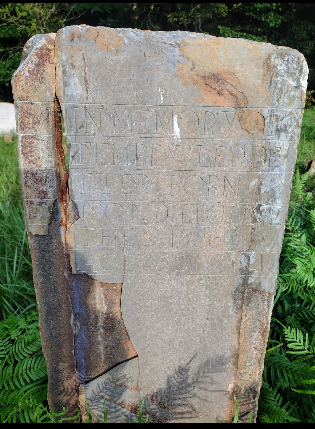
Set among  verdant ferns and grasses, above is the original stone of Alfred Ledbetter's wife, Temperance Jane Tucker Brooks Ledbetter. Previously married to a Brooks, who died in 1829, Tempy married Alfred around 1830, as their first child was born in 1831. 

A beautiful and peaceful resting place in a pastoral setting, the Ledbetter plot dates back to at least the 1840's. A good number of  Brooks are buried here as well, having intermarried into the Ledbetter family. There is also the grave of James Thomas Turner, an unrelated man, who witnessed the Will of Alfred Ledbetter, but died at the young age of 23 before it was probated. I wonder what his connection to the Ledbetters was. Could he have been a farmhand or employee? And what tragic incident ended his young life at the beginning of manhood?


The Ledbetters and the Whitleys lived along the Austin Road, as it existed in that era, a path south to the river and through the Bryant Austin family lands. I am not a Ledbetter, and have no genetic connection to them, but Tolitha Jane Whitley Springer, one of the people I have been researching, lived with them when she was 14 years old, as is seen in the 1870 census. 


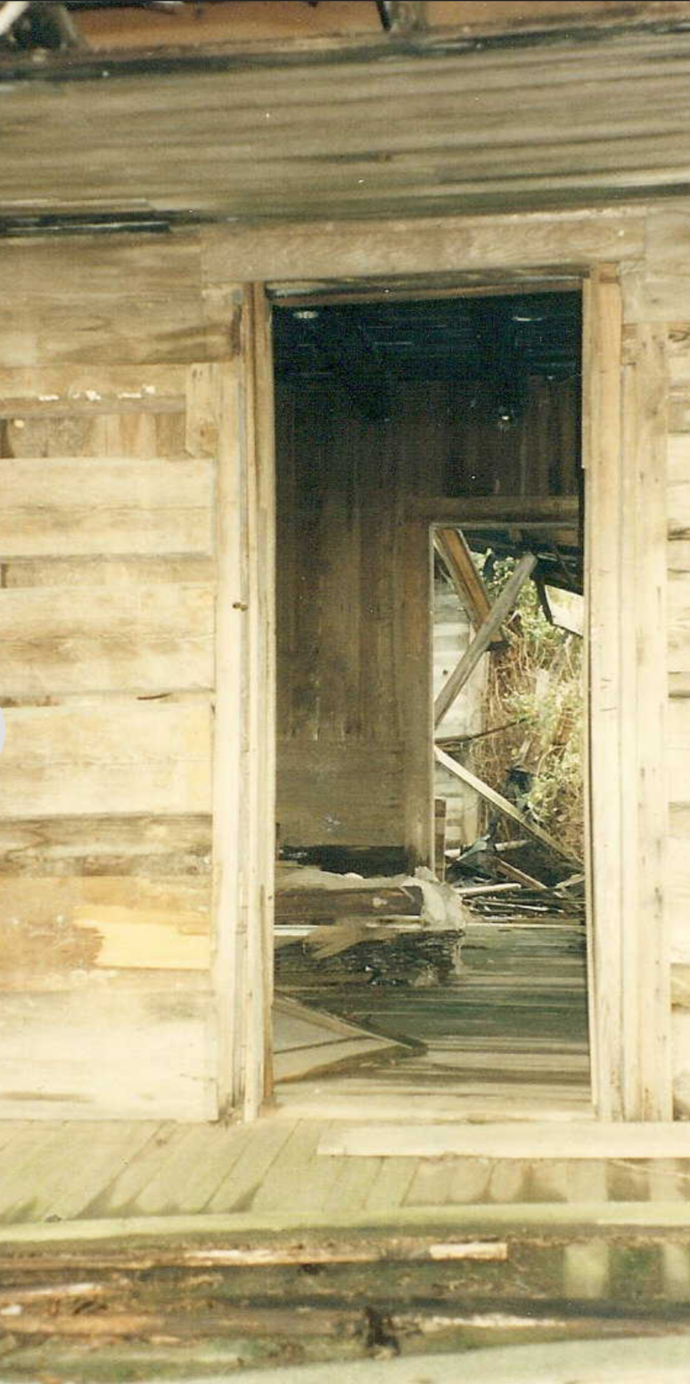
The Ledbetter homeplace is still standing, if barely. Above is the front entrance, shared to Alfred's profile by Richard Crotwell. That's a sturdy American build right there. The existence of Alfreds' lands helps me get a sense of where the lands of Hezakiah and Nancy Whitley may have been.


What tales these old conifers could tell, if we could understand their language. How many generations have they seen pass below their branches? How many footprints have their detritus covered up after decades of growth and shed?

My trip to Oakboro will continue in my next post.